A Memorable Hike
This walk happened several months ago but was so memorable, I had to write about it.

Planning a hike
With my brother Ben coming up for the weekend to North Wales, we decided to plan an adventure for the Saturday. Something reasonably easy, but new. Mya and I had gone around Aber Valley and Aber falls, but had never ventured up the back of the valley, onto the Carneddau mountains behind. We decided to start at the base of the Aber valley, walk up past Aber falls to Moel Wnion. If we were feeling particularly adventurous, we could walk back to Bangor from Moel Wnion, but if not, we could catch a bus from the nearby village of Rachub. With everything planned, we were ready to go.
An Unexpected visitor
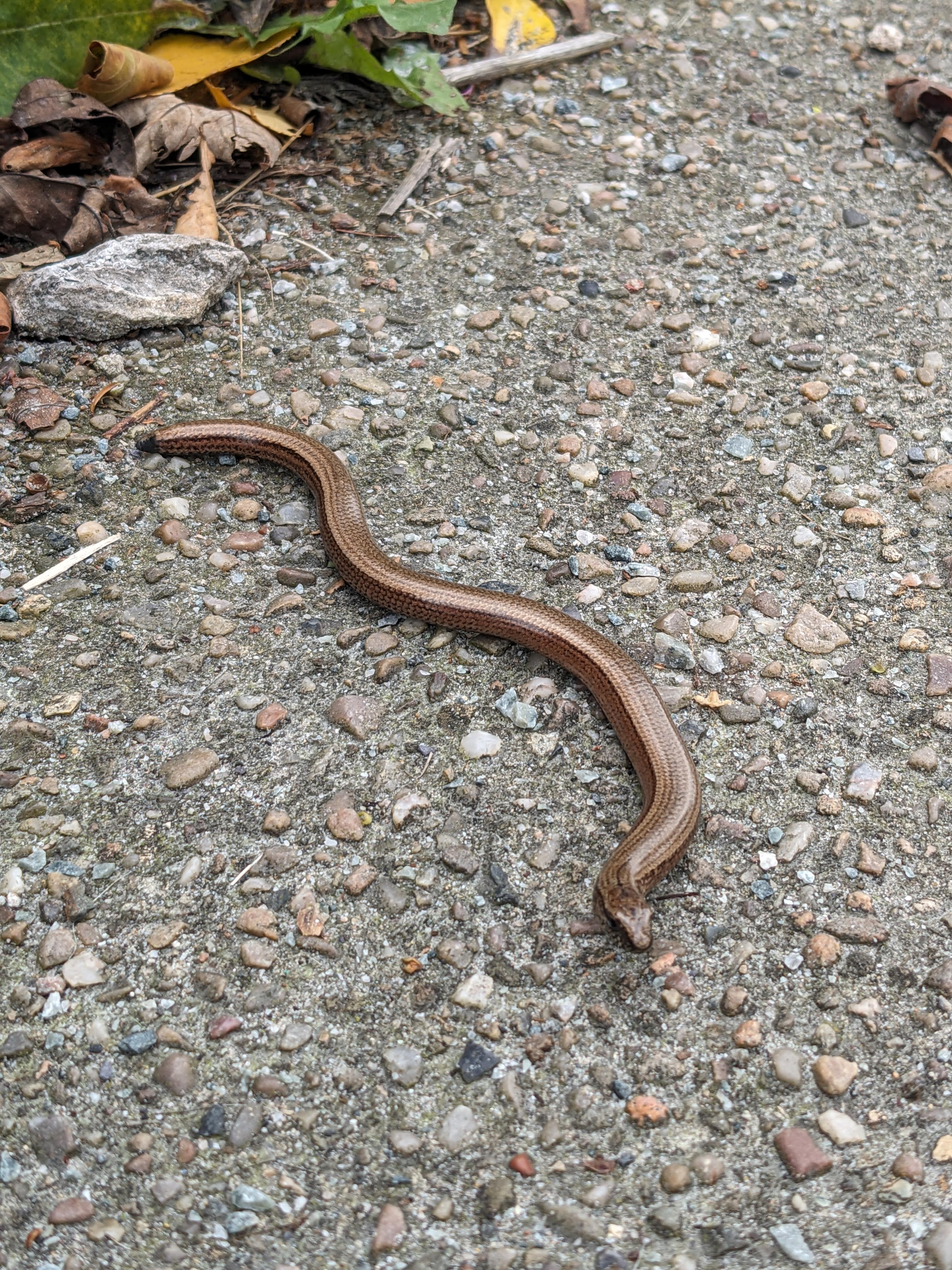
On our way to the bus stop, of all things to come across on the pavement, we found a slow worm! It had lost it’s tail, but not too recently as it had a slight stub, so we had no idea on how it managed to end up here on this residential street. We decided to carefully take them to the nearby graveyard, not as an ominous sign, but as it was the only nearby green space which wouldn’t be disturbed by dogs and had slightly thicker vegetation than the park on the other side of the road.
After this surprising encounter, we made our way back to the bus stop and on to Aber. Just next to the Aber bus stop is a small ice cream shop where, last year, Mya and I had met the three dogs who call it home. On our last visit, we came on a hot day around Easter and finished our hike by getting an ice cream here. The dogs would lazily lie in the sun and wander over to you to see if you were going to give them a pet or throw a toy. This time, we saw them in their usual spots outside the shop but didn’t go up to say hi as they were occupied.
Starting the hike
The start of our journey couldn’t be more picturesque. A few wispy cirrus clouds with the warm autumn sunshine were a lovely backdrop to the easy walk up the the falls. We walked up to Rhaeadr-fawr (Aber falls) and further West to Afon Rhaeard-bach where we had a small break. Afon means river, with Rhaeadr-fawr and Rhaeadr-bach meaning great waterfall and small waterfall accordingly. I know little Welsh but I do love how descriptive and literal place names are in Welsh, with lots of the places being named after the landscape they are in.
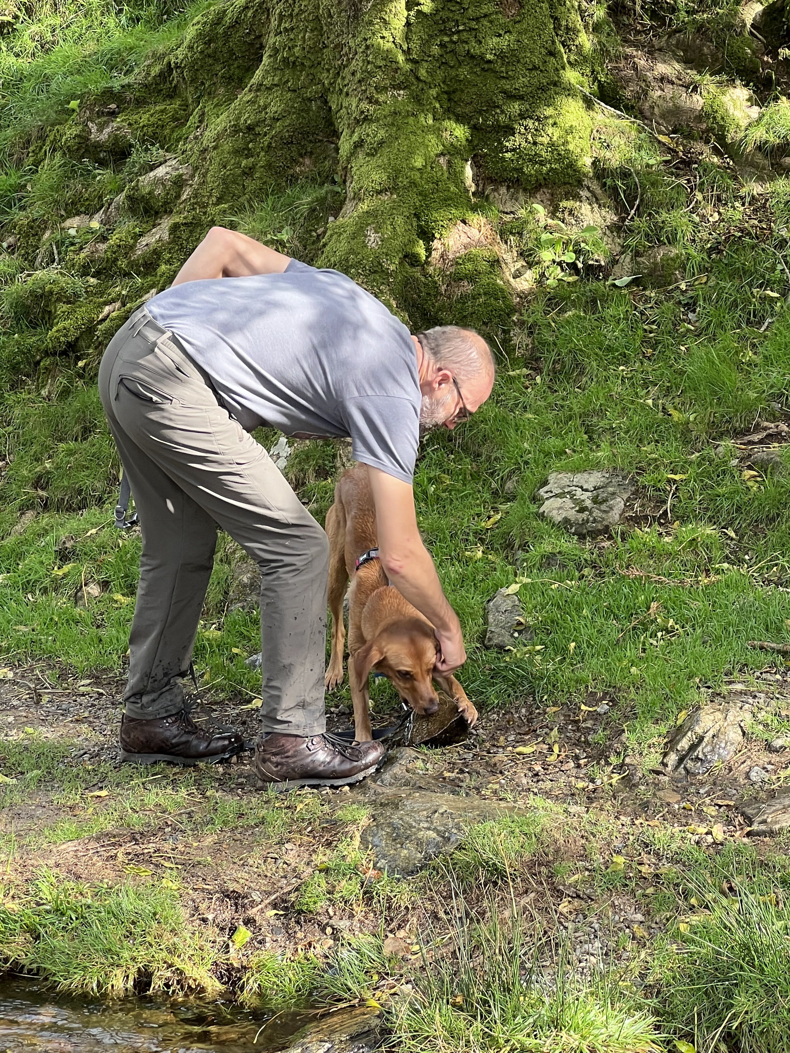
It was here we saw a dog who was having an amazing day. The owner would throw a rock into the stream, much to the dog’s excitement, who would rush in and promptly bring out a completely different rock and refuse to drop it for their owner. Eventually the dog would give in and allow their owner to pick up the rock and throw it back in to the stream. Again, the dog would rush in happily and bring out, yet again, a completely different rock. The owner, along with us, were finding this very amusing and it provided good entertainment for our short break.
Climbing out of the valley
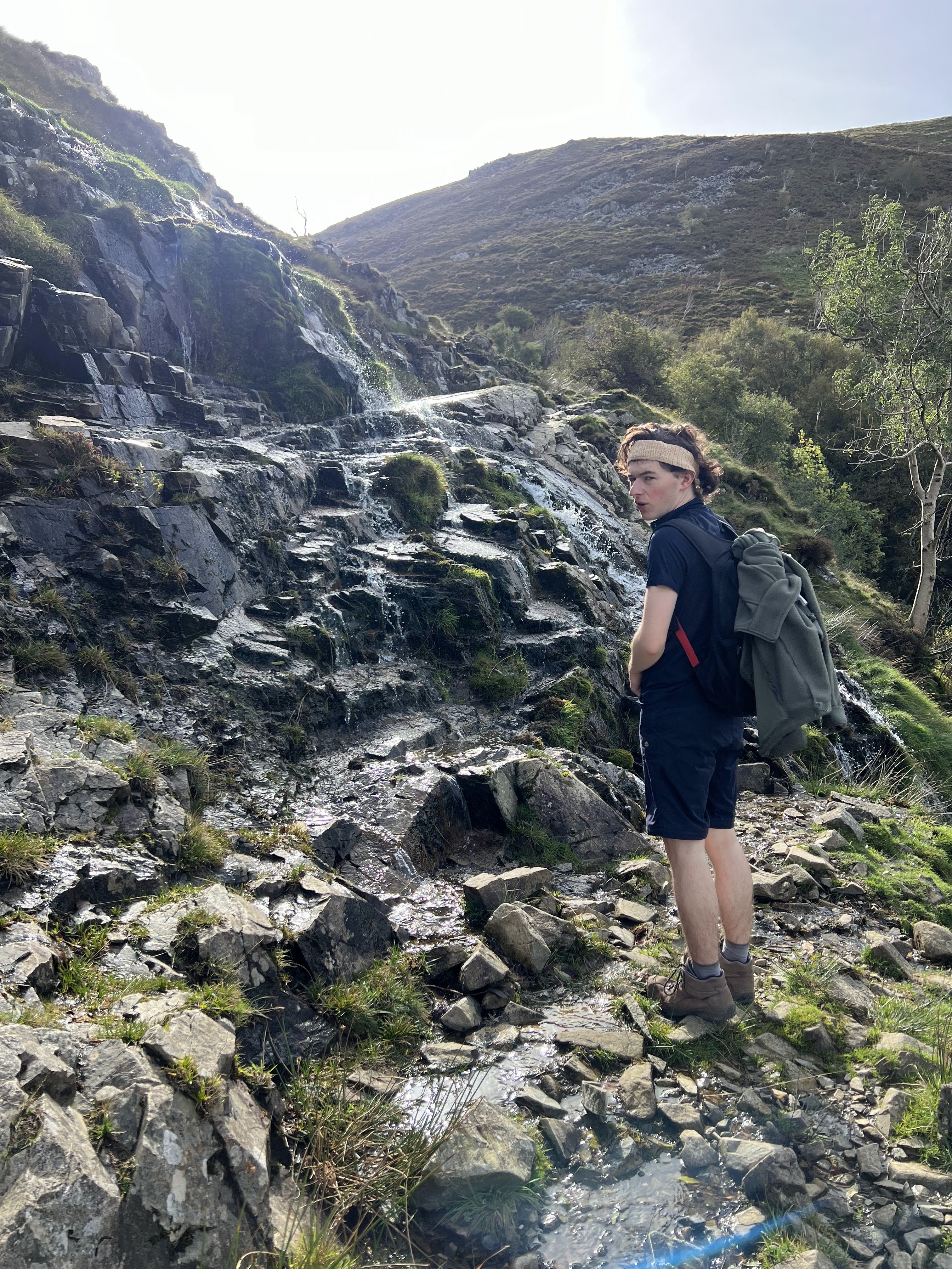
We walked back past Rhaeadr-fawr and left the main tourist track to climb out of the valley. At the top of the valley, almost level with the waterfall, we had to tackle a slight ford. This wouldn’t be too bad normally, but this one was almost a waterfall with the quite bare rock and quite steep gradient. If you were unfortunate enough to fall, you would end up at the base of the valley, about 50m below. Carefully tiptoeing our way around, we made it to the top of Aber valley and were now in the Carneddau.
The footpath was now more level, but more rugged and definitely off the tourist track. Following the river, we passed a few ruined settlements and sheepfolds and also came across some Carneddau ponies who were happily munching on the grass. This part reminded me a lot of Dartmoor with the mountains and rivers in their valleys. About 700m up the river, we came across the fords where we would cross Afon Goch. There wasn’t an obvious place to cross, and we spent about 10 minutes trying to choose the best spot and eventually we all got across without any disasters.
Up to the top
After the crossing, we started to gain altitude and head West, in the general direction of Moel Wnion. We crossed Afon Rhaeadr-bach with much more ease than the last ford, and decided to change footpath to save going down and up for no reason. After a few kilometers, we had made our way up to a plateau where the footpath became very indistinct and much boggier. Trying to not get soggy feet, we skirted our way around the worst parts and got to the base of the footpath of Moel Wnion. We debated on if we should summit Gyrn as it was just next door, but ended up leaving it out as we were going to be short on time if we wanted to walk back to Bangor, which at the time we were planning on doing. We would have other opportunities as we would come hiking here more often in the future.
Top of the hill
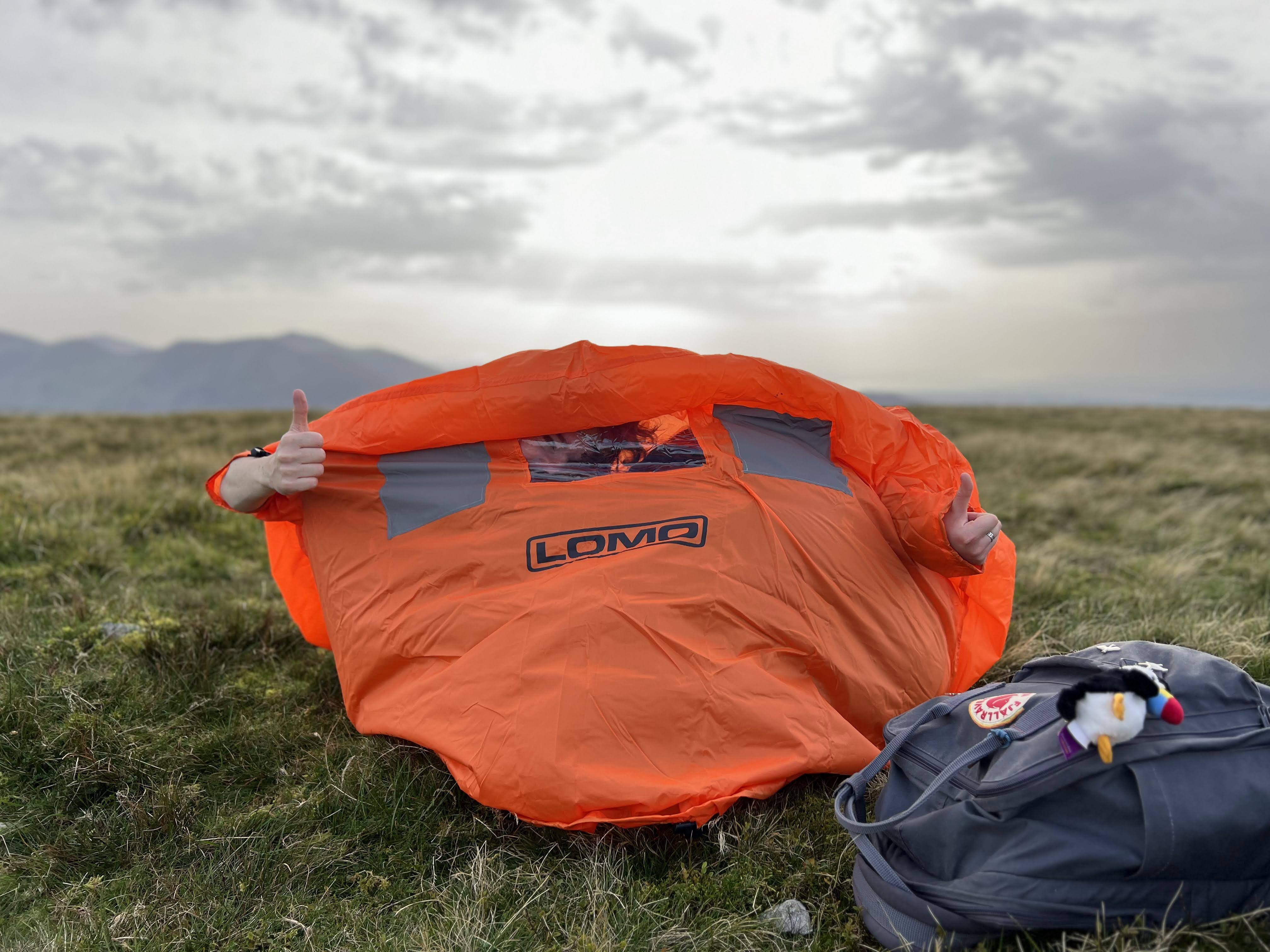
Eventually, we made it to the top of the hill and had got to our goal, the summit of Moel Wnion, at an altitude of 580m. At the top, it turned out to be very windy but we happily posed with the cairn and decided to look for the ‘pile of stones’ which was on the OS map. This intrigued me as it wasn’t labelled as a cairn but just as a pile of stones, so I had to see what it was. Sadly though, after 5 minutes of looking, no pile of stones could be found, and by looking at the satellite we could see the pile of stones should have been right in front of us. A bit disheartened, we trudged back to the cairn. Ben is very experienced in the outdoors with caving, hiking, climbing, and more, whereas Mya and I are not as experienced. Ben decided to give us a small tutorial on how to use the emergency shelter and so we spent 10 minutes or so playing with our little orange tent on top of the mountain.
Back down
Our descent of Moel Wnion was long and somewhat steep. The further down we went, the more sheep we came across and eventually got to the first road of the day. After descending an impressively steep hill through a woodland, we crossed the A55 and came to a decision. Either, walk along the road, which would be slightly longer, but boring, or cut across the fields, which could be flooded, but would be more exciting. We decided to go for the fields as it didn’t look flooded from where we were and thought “how bad could it be?”. We could not have been more wrong.
The shortcut of badness
This route consisted of a track, four fields, and finished with a farm lane. The first track was fine, apart from at the end where we had to go through a short flooded tunnel, but we didn’t get that wet and thought that was the worst of it. Just before the first field, a stream, which I had failed to notice on the map, ran right across our path. This was just about crossable, but required leaning off of the gate to give a hand to people. Into the first field and we thought it was going to be ok, but the ground quickly became soft and boggy. The field was completely sodden and with every step, you sank about three inches into the watery mud. 150m of this later we got to the second field where we had to cross the stream again, but this time it had widened into a meter-wide stream but with very soft and silty banks. This was just about crossable, if you didn’t mind getting a slightly soggy/muddy foot. After the previous field, we didn’t fret too much and decided to continue.
After another boggy field we reached the next gate, which required us to shimmy along the thorn-laden hedge, in order to not sink into the swamp formed by the dairy cows from the farm. Climbing over the gate we had reached the final field. This one was somehow more boggy than the previous fields, but we persevered and trudged our way across. Towards the end it got so wet we had to slowly shimmy along the thorny hedge again to stop it going over the top of our boots. It was here Ben said the worst thing imaginable; “This track better not be awful as I’m not going back the way we came again”. Mya and I, busy trying not to fall into the bog, laughed unknowingly, not able to think any further than the next step, let along the track coming up. After a few moments, Ben gave a cry of amazement as he said he sees concrete on the track ahead. Finally, we thought, at least the final part of this shortcut wouldn’t be awful. However, as we got closer, we had to harrowing realisation that it was not smooth concrete Ben had thought he’d seen, but the smooth layer of liquid cow slurry that took up every inch of the track as far as the eye could see.
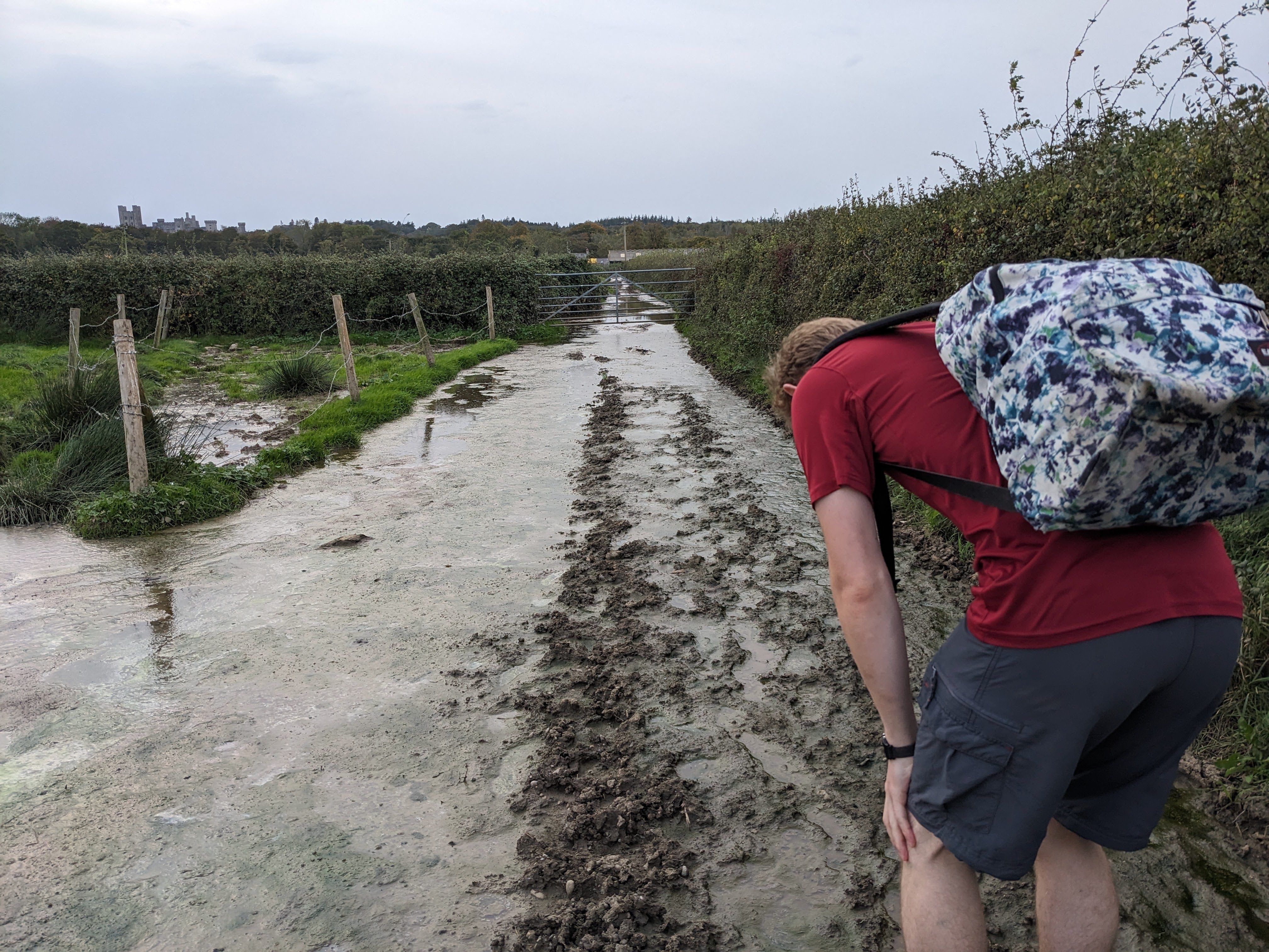
Poop alley
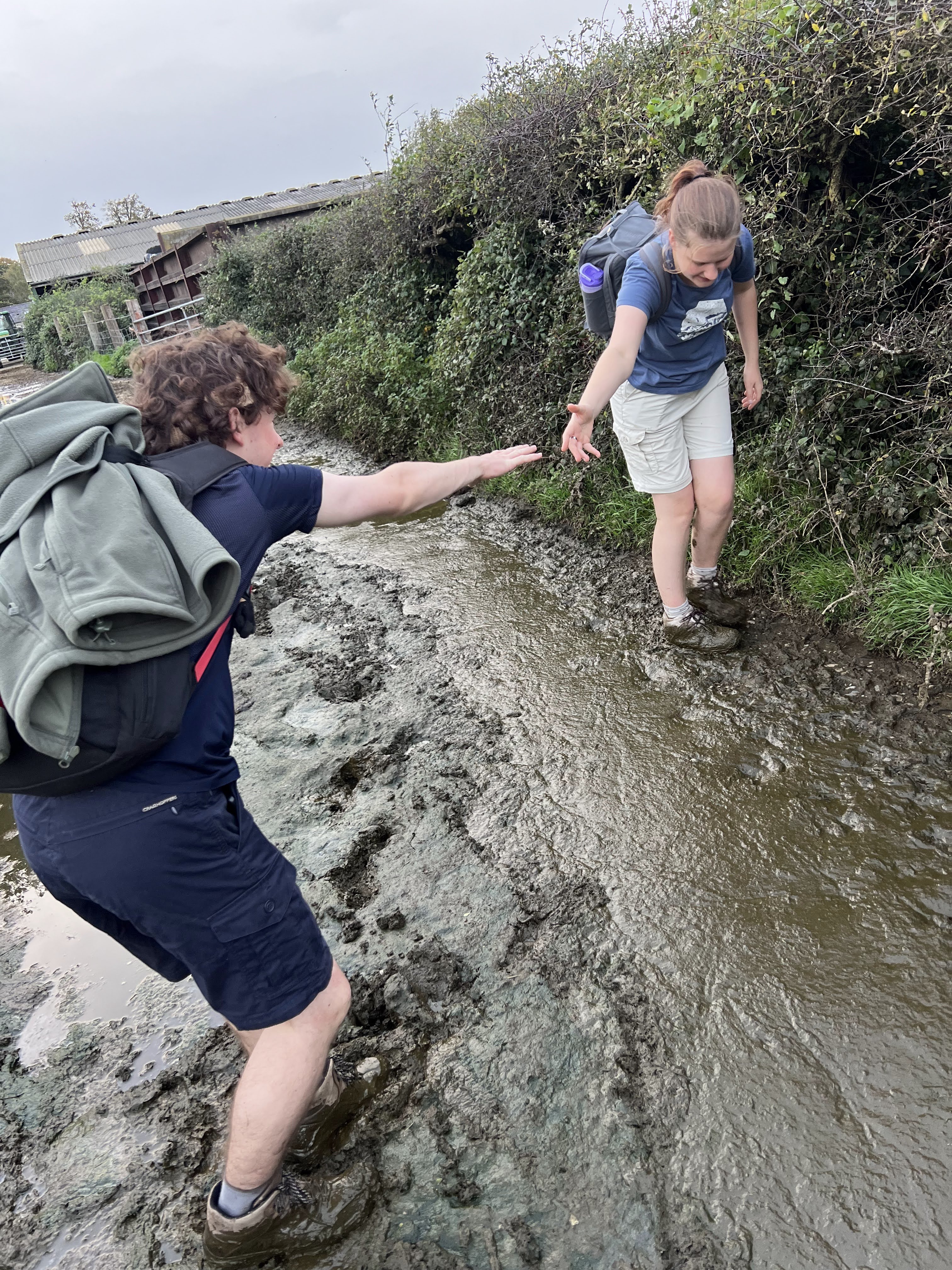
It was worse than any of us could imagine. You couldn’t shimmy on the edge anymore, as there wasn’t an edge, it was all slurry. You couldn’t go around as it was thick, thorny blackthorn and bramble either side and the track was about 150m long. We really didn’t want to go back through what we had already done, and then walk the other way, so we tried to see how on earth we could get across this obstacle. Taking one step, Ben sank several inches into the gloop, and there was no turning back. Slowly but surely we made our way to the gate, climbed over, and carried on down the worst farm track we’ve ever been down. In some parts, it was six inches deep, others only one. You couldn’t tell without stepping and hoping your foot didn’t disappear, never to be seen again.
After what seemed like an eternity and a half, we finally made it to the farm where the slurry subsided. Taking a mental note to never go here again, we quickly carried on to our next chapter of our walk.
A brief moment of calm
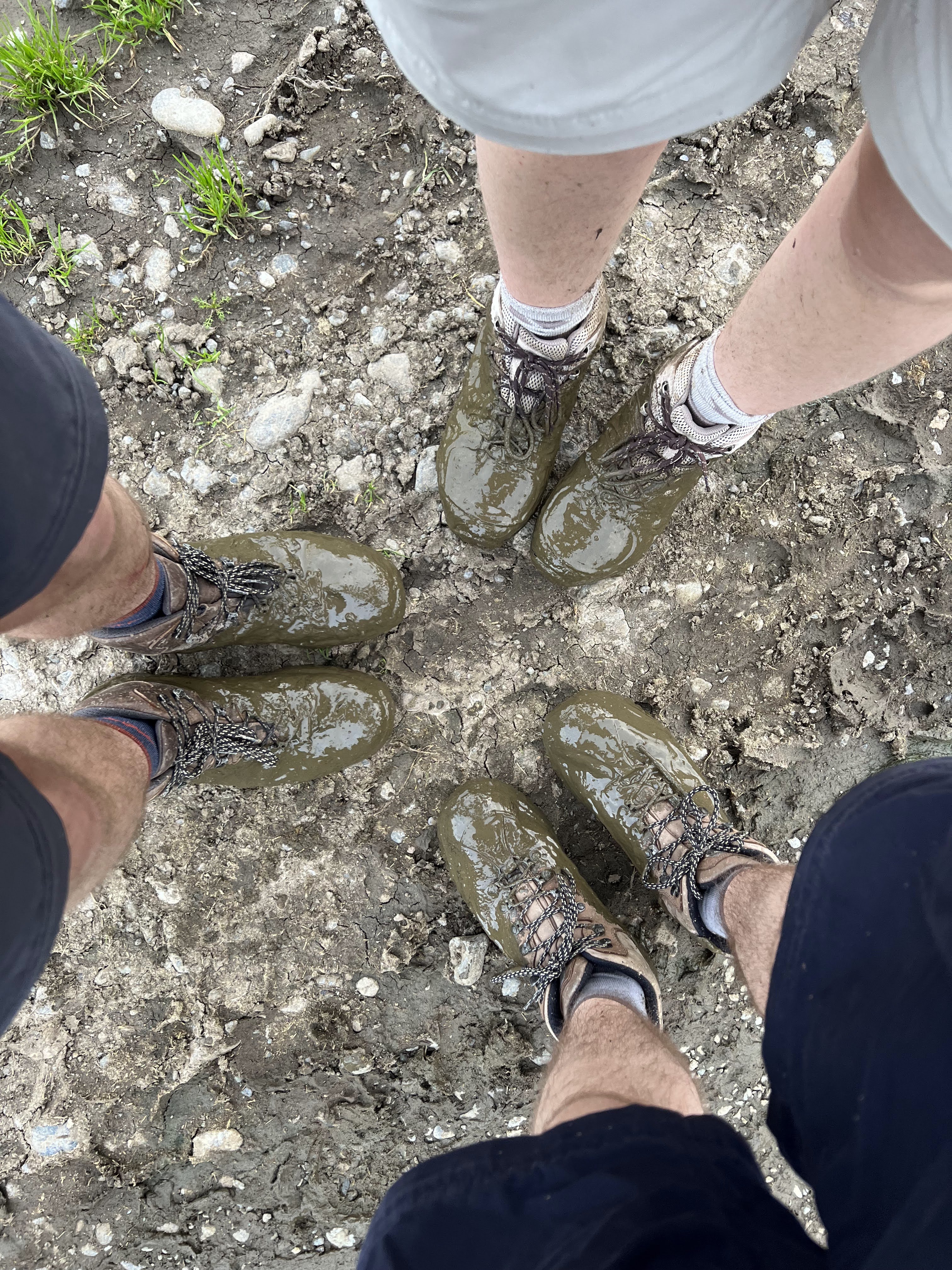
Our next section, which couldn’t contrast more to what we had just been through, was a beautiful nature reserve, the Spinnies. We had a short break in one of the bird hides, half looking at birds and half realising what we just went through, and then moved swiftly on as daylight was starting to go. As we left the reserve, we crossed over a bridge, but before moving on, we decided to try and clean our boots. After dunking our feet into the gloriously clear water, and possibly killing everything downstream in the process, we didn’t even notice our feet were getting wet, as they were already soaked through in cow poop.
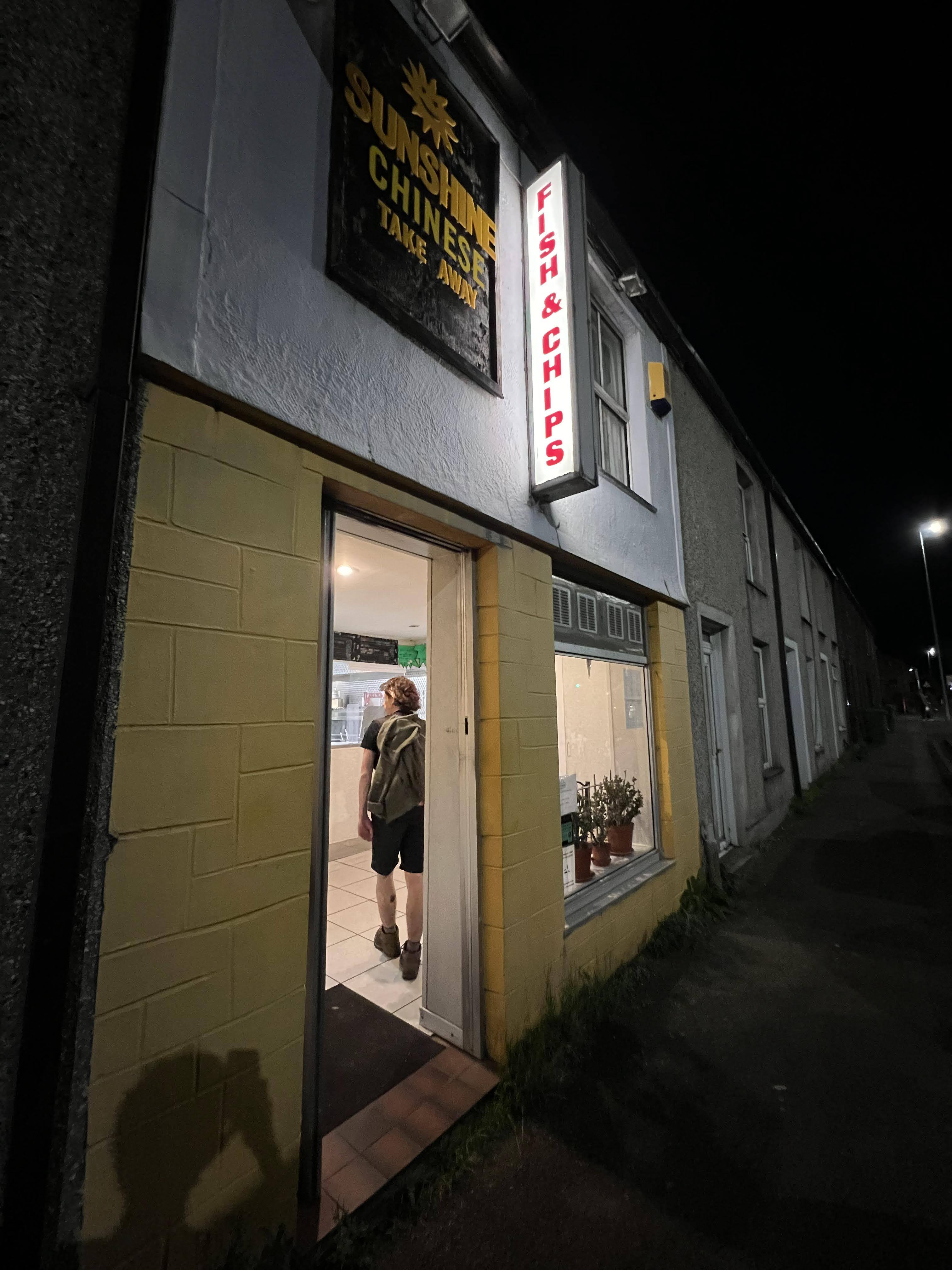
Without slightly cleaner boots, we continued our journey, now passing around the outside of the Penrhyn Castle estate. This was a nice path, even though part of it wasn’t finished and we had to work our way around more muddy paths, but at this point we were just happy it wasn’t slurry. As darkness started to fall, we made it to Bangor and walked up the high street to the Chinese takeaway, the finish line of our epic journey.
Recovery...
Munching on our well-earned dinner, we reflected on the day and the ordeal we had just been through. Somehow, after an incredibly long hike, Ben and I were thinking of doing another one the next day. Since Ben would be leaving in a few days, we only had two full days to go on any big hikes. Since the weather was going to be lovely, we couldn’t miss out on such a good opportunity! We ended up doing the Snowdon Horseshoe which was incredibly fun, especially on the last sunny and warm day of the year.
Final stats
Distance: 22.74km
Duration: 06:58
Total Ascent: 777.85m
Slurry waded through: Too much
Memories made: Plenty
Finished writing on 2nd April 2024